The Connectivity Challenge in Remote Archipelagos
Kiribati is a destination that captures the imagination of travelers seeking true isolation and untouched beauty. Spanning across the central Pacific Ocean, this nation of 33 atolls and islands offers a unique landscape where the horizon seems endless. However, the very remoteness that makes Kiribati so appealing also presents significant challenges for modern travelers who rely on digital tools. When you are moving between islands or exploring the outer reaches of Tarawa, stable cellular coverage is not always a guarantee.
For most visitors, the smartphone is the primary tool for navigation, translation, and information gathering. Relying solely on a live data connection can be risky in regions where signal strength fluctuates based on your proximity to local transmission towers. Even with a reliable travel eSIM like OneTapSIM, which provides a seamless bridge to local networks, it is standard practice for seasoned travelers to prepare for moments when connectivity might drop. This is where the strategy of using offline maps in Kiribati with travel eSIM becomes essential. By combining the convenience of an eSIM for your active travel days with the security of pre-downloaded map data, you ensure that you are never truly lost, regardless of your location.
Preparing Your Navigation Strategy
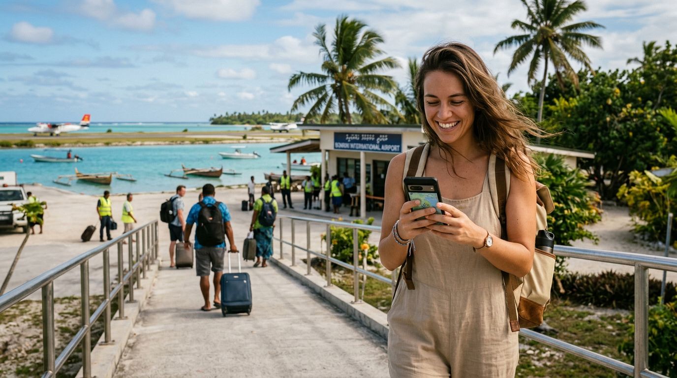
Before you step off the plane at Bonriki International Airport, your device should be fully configured for the terrain ahead. The process of using offline maps in Kiribati with travel eSIM starts long before you reach the islands. While you are still in a location with high-speed Wi-Fi, you should download the necessary map regions for the specific islands you plan to visit. Both Google Maps and other dedicated navigation applications allow you to save large sectors of a map directly to your device storage.
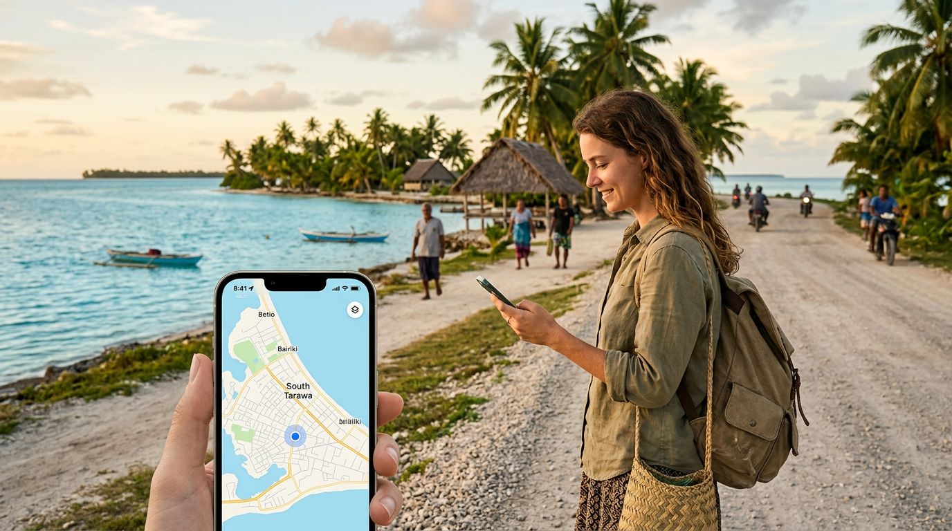
Once these maps are downloaded, they function independently of your cellular data. This means that even if you are in a remote corner of an atoll where your OneTapSIM signal is weak or unavailable, your GPS chip will still function. Your phone uses satellite signals to triangulate your position, pinning your blue dot onto the map you previously saved.
This hybrid approach is highly effective. You use your OneTapSIM to handle real-time tasks—such as checking ferry schedules, sending updates to family, or looking up local customs—while the offline maps serve as a permanent, reliable safety net. By downloading detailed topography and points of interest, you can explore with confidence, knowing that you have a fallback plan that does not depend on the availability of a network signal. It is a simple step that provides immense peace of mind when you are miles away from the nearest town.
Optimizing Your Device for the Pacific
When you are traveling through an environment as vast and spread out as Kiribati, your phone’s battery life and storage space become precious commodities. Downloading offline maps can consume significant storage, so it is wise to curate your map selection. Focus on the islands where you will spend the most time, rather than downloading the entire Pacific region.
To maximize the effectiveness of using offline maps in Kiribati with travel eSIM, consider these technical tips:
First, ensure that your location services are set to "Always Allow" for your chosen mapping application. This ensures that the GPS hardware can maintain a lock on your position even when the app is running in the background. Second, keep your software updated. Whether you are using an iPhone or an Android device, current operating systems have improved the efficiency of GPS tracking and the stability of offline map data. You can find detailed guides on managing location permissions and offline data through the official support pages for Apple or Google.
Third, manage your data usage strategically. While your OneTapSIM is designed to provide consistent connectivity, you can conserve your data for essential communication by keeping your maps offline. When you do have a strong signal, you can use the live features of your maps to check for traffic or updated business hours. Once you move into a more remote area, switch your device to a power-saving mode if necessary. Because the offline maps do not require a data handshake to render the terrain, you will find that your battery lasts significantly longer than it would if the phone were constantly searching for a network to refresh map tiles.
Finally, remember that navigation in Kiribati is often about more than just roads. Many of the paths are trails or coastal routes that might not be highlighted on standard maps. If you are planning an excursion, try to drop manual pins on your map while you still have a connection. These pins will remain visible on your offline map, allowing you to mark specific points of interest, such as a hidden beach, a remote guesthouse, or a meeting point for a boat transfer.
By integrating these habits, you turn your smartphone into a robust survival tool. The combination of a OneTapSIM for broad, flexible connectivity and a well-prepared offline map library ensures that you can focus on the experience of Kiribati rather than worrying about the logistics of getting around. Whether you are navigating the narrow causeways of South Tarawa or exploring the quiet shores of the outer islands, this dual-layer approach to technology is the most reliable way to traverse one of the most remote nations on Earth.
Get an eSIM for
Plans for the destinations covered in this guide, with instant QR delivery.