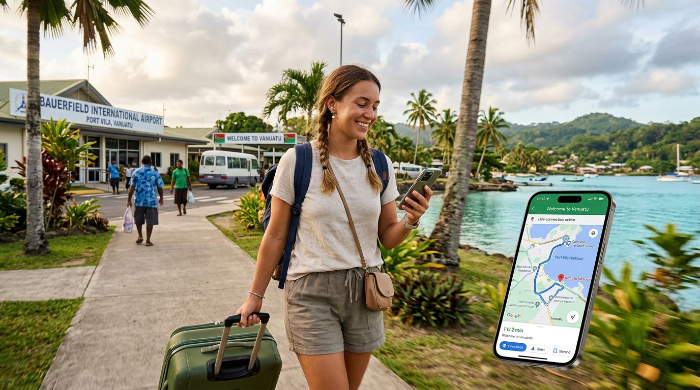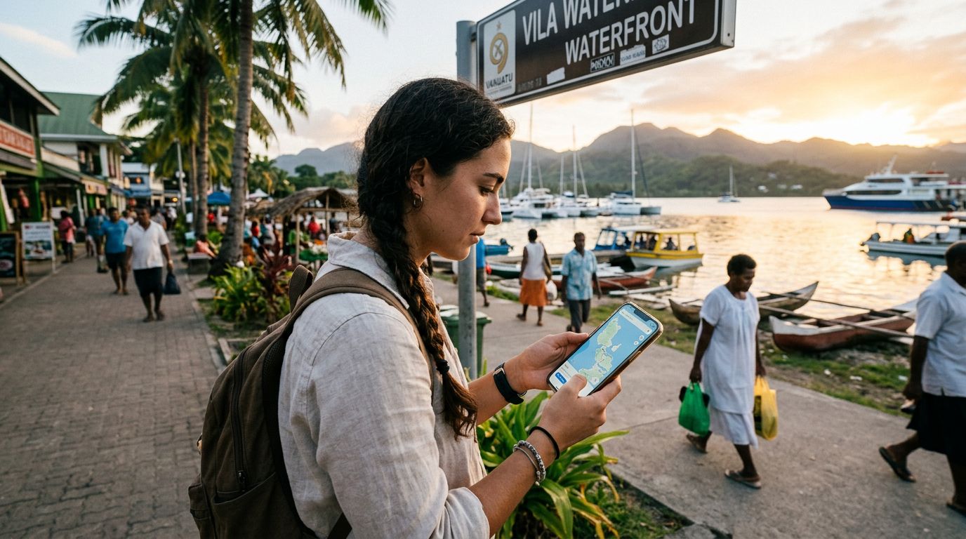
Vanuatu is an archipelago of immense natural beauty, offering everything from active volcanoes on Tanna to the pristine blue holes of Espiritu Santo. However, the very geography that makes it a tropical paradise—remote islands, dense jungles, and rugged terrain—also presents a challenge for connectivity. While you might dream of wandering off the grid, having a reliable way to find your way back to your accommodation or discover hidden waterfalls is vital. Relying solely on cellular data can be risky in remote areas, which is why mastering offline maps for travel in Vanuatu is a prerequisite for any well-prepared adventurer.
Why Offline Maps are Non-Negotiable in Vanuatu
When you land in Port Vila or Luganville, you might have a strong signal, but as soon as you head toward the interior of the islands or travel to more secluded coastal regions, that signal can vanish instantly. Vanuatu’s infrastructure is limited, and cell towers are concentrated around the main towns. If you are planning to hike to a remote village or drive to an isolated beach, you cannot count on being able to pull up a live map to check your route.
Offline maps provide a safety net that functions independently of your cellular network. By downloading map data to your device before you leave your hotel or a spot with reliable Wi-Fi, you ensure that your GPS location remains visible even when your phone shows "No Service." This is particularly important for self-drive explorers on Espiritu Santo or those trekking the volcanic landscapes of Tanna. Having a map stored locally means you can see your current position, track your path, and identify nearby points of interest without needing a constant data stream.
While you should always prioritize safety by informing locals or your accommodation hosts of your travel plans, having a digital map ensures you don’t waste hours of daylight wandering in the wrong direction. It turns a potentially stressful situation into a simple navigational adjustment.
Preparing Your Devices Before You Depart
Preparation is the key to a stress-free trip. The most popular tools for offline navigation are Google Maps and dedicated GPS apps. To use Google Maps offline, you must download the specific region you intend to visit while you are connected to a stable network. Open the app, search for the island or town, and select the "Download" option. It is wise to download a larger area than you think you need, as GPS coordinates can sometimes be slightly offset in rural areas, and having the surrounding geography helps with orientation.
Beyond just downloading maps, ensure your phone’s internal GPS hardware is functioning correctly. Your phone uses satellites to determine your position, which works regardless of whether you have a SIM card installed or a data connection. However, it is essential to keep your device updated. If you are using an iPhone, check your settings to ensure your location services are enabled for your map applications. You can find detailed guidance on managing these settings through the official support documentation provided by Apple.
For travelers who want to remain connected when they are back in populated areas, using a service like OneTapSIM is an excellent way to manage your mobile data. By setting up an eSIM before you arrive, you can ensure that as soon as you are back in a service zone—such as when you return to a resort or a main town—you can instantly access the internet to update your offline maps, check weather forecasts, or share your experiences with friends and family. This hybrid approach, combining the reliability of offline maps for the wilderness and the convenience of an eSIM for civilization, provides the ultimate balance for a Vanuatu adventure.
Best Practices for Navigating the Islands
Even with the best technology, navigating Vanuatu requires a bit of local context. Many roads on the islands are unpaved, and some may not even appear on standard digital maps. When you are using offline maps, treat them as a guide rather than an absolute authority. Always look for physical landmarks, such as large banyan trees, specific coastal rock formations, or local signage, to cross-reference your digital position.
Battery management is another critical component of using offline maps. GPS tracking is one of the most power-intensive tasks a smartphone performs. If you are spending the entire day exploring, your battery will drain significantly faster than it would during normal usage. Carry a high-capacity power bank to ensure your device stays charged. If you find your battery dipping, put your phone into airplane mode; this stops the device from constantly searching for a cellular signal, which saves a significant amount of power while still allowing the GPS chip to receive satellite data for your offline maps.
Furthermore, consider the limitations of map data in rural areas. While major roads are usually well-mapped, minor trails leading to waterfalls or viewpoints might be missing or inaccurately marked. If you are heading deep into the bush, it is always recommended to hire a local guide. A local guide provides knowledge that no map can replicate, including information about land ownership, trail conditions, and local customs. Your offline map serves as a tool to help you understand the geography, but the local wisdom of the Ni-Vanuatu people is the most valuable resource you will have.
By combining the foresight to download offline maps, the reliability of a backup power source, and the flexibility of a modern connectivity solution like OneTapSIM for when you are back in urban centers, you can explore Vanuatu with confidence. You will spend less time worrying about how to get from point A to point B and more time soaking in the incredible culture and natural wonders of this unique island nation. Whether you are snorkeling in turquoise waters or standing on the edge of a crater, being prepared ensures that your journey remains focused on discovery and enjoyment.