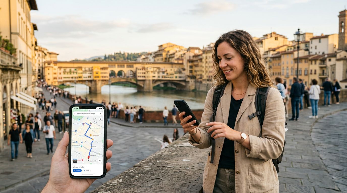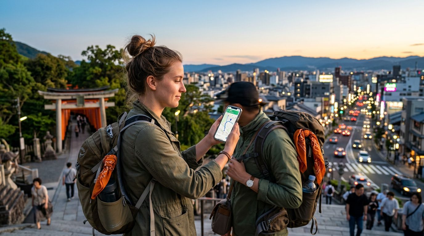
Traveling to a new country is an exhilarating experience, but it often comes with the stress of getting lost in unfamiliar streets. Whether you are wandering through the winding alleys of a historic European city or trying to find a remote hiking trail in Southeast Asia, having reliable digital tools is non-negotiable. The right technology can turn a potential disaster into a seamless adventure.
The Foundation of Reliable Navigation
The most important component of any navigation strategy is a consistent data connection. Without it, your sophisticated maps become static images that cannot update in real-time. This is where OneTapSIM becomes a vital travel companion. By providing a reliable eSIM, you ensure that your phone remains connected to local networks the moment you land. When you have a stable data connection, you can access live traffic updates, public transit schedules, and instant rerouting features that offline maps simply cannot provide.
While offline maps are a great backup, they lack the dynamic information that makes travel convenient. For instance, if a road is closed due to construction or a protest, or if a bus route has been unexpectedly canceled, an offline map will not alert you. A constant data stream allows you to rely on the most accurate, up-to-date information available. When your phone has a steady connection, you can focus on the sights rather than worrying about whether your GPS signal is accurate or if your map data is outdated.
Essential Applications for Every Traveler
When building your digital toolkit, you should prioritize apps that offer versatility and offline capabilities. Google Maps remains the gold standard for most travelers. Its global coverage, detailed business information, and integration with public transit systems make it indispensable. It allows you to see reviews, opening hours, and even photos of your destination before you arrive. To get the most out of it, ensure you have your eSIM activated so you can pull up walking directions or check for the next train in real-time.
For those who prefer a more specialized approach, Citymapper is a fantastic alternative, particularly in major metropolitan areas. It excels at combining different modes of transport—such as trains, subways, buses, and even bike-shares—to provide the most efficient route. It is often more precise than broader map apps when it comes to subway exits and platform numbers, which can save you significant time in complex transit hubs.
If you are planning to spend time in the great outdoors or hiking, AllTrails is a necessity. It provides topographic maps and user-generated trail reports that can alert you to current conditions, such as muddy paths or seasonal closures. Combining this with a reliable data plan ensures you can check your progress against the trail map throughout your hike, providing peace of mind when you are far from civilization.
Strategies for Stress-Free Movement
Having the best travel apps for navigation abroad is only half the battle; how you use them matters just as much. First, always download offline areas for the cities you plan to visit. Even if you have a reliable data plan, there are always pockets—such as underground tunnels, remote mountain ranges, or dense concrete buildings—where signals might drop. Having a cached version of the map ensures you are never truly stranded.
Second, learn to use the "Saved Places" feature effectively. Before you leave your accommodation, pin your hotel, major transit hubs, and a few key landmarks you intend to visit. This creates a mental map of your surroundings and allows you to quickly pull up directions back to your base without having to type in addresses repeatedly. If you are using an iPhone, take advantage of the integrated mapping features that allow you to share your live location with friends or family. This is a safety best practice that provides extra security when exploring alone.
Third, pay attention to the transit settings within your navigation apps. Many apps allow you to filter by specific transport types or avoid certain routes, such as toll roads or steep hills. Customizing these settings can prevent frustration. For example, if you are traveling with heavy luggage, you might want to prioritize routes that minimize walking or utilize elevators at transit stations.
Lastly, consider the battery impact of constant navigation. GPS usage is one of the fastest ways to drain a smartphone battery. Carry a portable power bank and keep your phone in a pocket or bag when you are not actively checking directions. If you find yourself in a situation where your battery is low, switch your phone to power-saving mode, which often reduces the frequency of GPS updates while still allowing you to see your general position on the map.
By combining the right hardware—such as a seamless eSIM for consistent connectivity—with a curated selection of navigation applications, you remove the guesswork from international travel. You gain the freedom to explore spontaneously, knowing that you have the digital resources required to find your way back, discover hidden gems, and move through new environments with the confidence of a local. Technology should serve as a bridge to your destination, not a source of frustration, and with the right preparation, it will do exactly that.
Get an eSIM for
Plans for the destinations covered in this guide, with instant QR delivery.