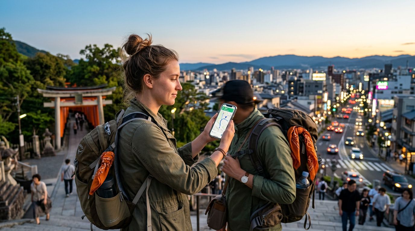
Mastering Global Travel with Smart Navigation
Traveling to a new country is an exhilarating experience, but it often comes with the stress of finding your way through unfamiliar streets, public transit systems, and hidden gems. Relying on paper maps is a relic of the past; today, your smartphone is the most powerful tool in your backpack. However, having a phone is only half the battle. To truly explore with confidence, you need the right software installed before you leave home.
The best travel apps for navigation go beyond simple point-to-point directions. They help you understand local transit schedules, find walking paths that avoid busy roads, and even provide offline access when you are in remote areas. Whether you are wandering through the narrow alleys of a historic European city or trying to catch a bus in a bustling Asian metropolis, having a reliable digital companion ensures you spend less time looking at a screen and more time soaking in your surroundings.
Connectivity is the foundation of these tools. While many navigation apps offer offline modes, real-time traffic updates, public transit delays, and ride-sharing integrations require a stable internet connection. This is where OneTapSIM becomes an essential part of your travel kit. By providing seamless data access the moment you land, you ensure that your navigation apps are always ready to pull the latest information, keeping you on track without the headache of hunting for local SIM cards or paying exorbitant roaming fees.
Essential Navigation Tools for Every Traveler
When building your travel toolkit, it is best to have a mix of general-purpose mapping giants and specialized transit apps. Google Maps remains the industry standard for a reason. Its comprehensive database includes almost every business, park, and landmark on the planet. The "Explore" feature is particularly useful for finding highly-rated cafes or museums nearby, while the transit integration provides accurate departure times for trains and buses in major cities.
For those who prefer a more community-driven approach, Waze is excellent if you are renting a car. It excels at real-time traffic reporting, alerting you to accidents, speed traps, or road closures based on data from other drivers. If you are traveling in a region where English is not the primary language, these apps also allow you to save maps for offline use. However, remember that offline maps cannot provide live traffic data or reroute you if a road is suddenly blocked. Keeping your data active with a travel eSIM ensures you always have the most current route options available.
Citymapper is another favorite for urban explorers. Unlike general mapping apps, Citymapper focuses specifically on public transportation. It combines data from subways, buses, ferries, and even bike-share programs to give you the most efficient route across a city. It will tell you exactly which subway car to board to be closest to your exit, saving you precious minutes during a busy day of sightseeing. By pairing these apps with a reliable data connection, you turn your smartphone into a local expert that knows the city as well as the residents do.
Strategies for Stress-Free Exploration
Navigation is not just about finding the fastest route; it is about feeling secure while moving through a new environment. One of the biggest challenges travelers face is the "data gap"—that moment when you step off a plane or train and realize your phone has no service. Without a connection, you cannot call a ride, check your hotel address, or see if your train is on time.
To avoid this, download your primary maps for the entire region you plan to visit while you are still on a stable Wi-Fi network. Most major navigation apps allow you to download large areas for offline use. Once you have those downloaded, use your OneTapSIM to fill in the gaps. When you have active data, you can switch back to online mode to get live updates on transit delays or to search for a new destination on the fly. This hybrid approach—using offline maps as a safety net and active data for real-time adjustments—is the most effective way to travel.
Another tip for better navigation is to organize your destinations in advance. Most mapping apps allow you to create "Saved" lists or "Collections." Before you leave, drop pins on your hotel, the airport, and the top five sights you want to see. This creates a visual map of your trip, helping you group activities by neighborhood. When you are on the ground, you can simply open your map and see which points of interest are closest to your current location.
Finally, always carry a portable power bank. Navigation apps are battery-intensive because they utilize GPS, screen brightness, and cellular data simultaneously. Nothing ruins a day of exploration faster than a dead phone. By managing your battery usage and ensuring you have a consistent data connection, you can navigate with the confidence of a local. Whether you are trekking through a national park or navigating a complex subway system, the right combination of apps and connectivity will make your journey smoother, safer, and much more enjoyable.
Get an eSIM for
Plans for the destinations covered in this guide, with instant QR delivery.