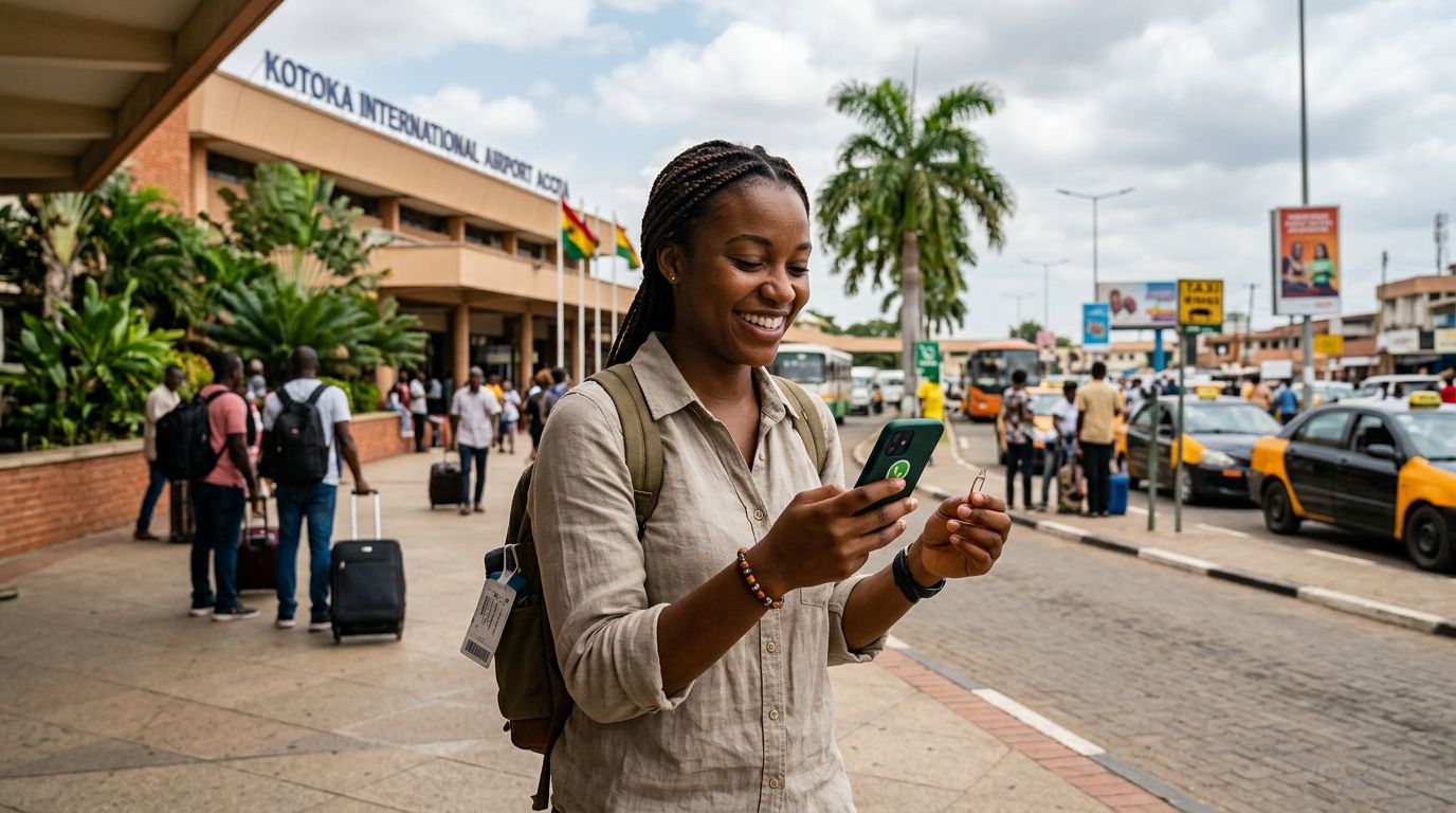
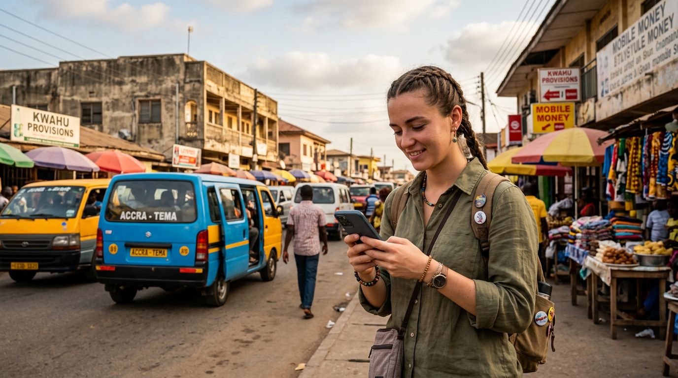
Ghana is a vibrant destination that offers a unique blend of historical landmarks, bustling markets, and stunning coastal landscapes. Whether you are exploring the energetic streets of Accra, visiting the historic castles in Cape Coast, or trekking through the lush greenery of the Volta Region, finding your way around can be an adventure in itself. Having the right tools on your smartphone is essential for a smooth experience. With a reliable data connection provided by a service like OneTapSIM, you can access real-time information and navigate the country with confidence.
Essential Mapping and Transit Tools
When you arrive in a new country, the first challenge is often understanding the geography and finding reliable transportation. In Ghana, navigation requires a mix of global standards and local knowledge.
Google Maps remains the most versatile tool for travelers in Ghana. It provides detailed road networks for major cities like Accra, Kumasi, and Takoradi. You can use it to find points of interest, such as restaurants, museums, and national parks. One of the most useful features for travelers is the ability to download offline maps. By downloading the map of the region you plan to visit while you have a stable Wi-Fi or data connection, you ensure that you can still find your way even if you venture into areas with spotty cellular coverage.
For getting around urban centers, ride-hailing applications have transformed the way people move. Uber and Bolt are widely used in major Ghanaian cities. These apps are particularly helpful because they show you the estimated route, the driver’s details, and the vehicle information before you step inside. This adds a layer of security and convenience that is often missing from traditional taxi hailing. Because these apps require a constant internet connection to track your location and communicate with drivers, having a stable travel eSIM from OneTapSIM ensures you are never left stranded without the ability to request a ride.
Public transportation in Ghana, known as "tro-tros," is a cultural experience in itself. While there is no official app that tracks the exact real-time location of every tro-tro, local forums and community groups on social media platforms can sometimes provide insights into popular routes and transit hubs. Using your data to check these resources can help you understand the flow of local traffic and identify major stations.
Communication and Language Resources
Navigation is not just about maps; it is also about communicating with the people around you. While English is the official language of Ghana and is widely spoken in professional and urban settings, knowing how to interact effectively can make your journey much smoother.
Google Translate is a vital companion for any traveler. You can download specific language packs for offline use, which is helpful if you travel to more remote areas where English might be less common. Beyond just translating text, the app features a conversation mode that allows you to speak into your phone and have it translate your words into the local language. This is incredibly useful when asking for directions or clarifying a destination with a local driver.
Staying connected with family, friends, or local guides is another form of navigation. Whether you are using WhatsApp to coordinate a meeting point or checking your email for booking confirmations, you need a consistent data stream. Many travelers find that switching to a travel eSIM is the most efficient way to maintain this connectivity. By activating your OneTapSIM before you land, you avoid the hassle of searching for local physical SIM cards at the airport or dealing with unexpected roaming charges from your home carrier. This allows you to focus on your trip rather than the technicalities of your mobile plan.
Planning Your Itinerary and Staying Informed
A successful trip to Ghana often requires a bit of pre-planning and the ability to pivot when circumstances change. Having the right apps for research and real-time updates will help you optimize your time.
TripAdvisor is a staple for travelers looking to verify the quality of tourist sites, hotels, and dining establishments. Reading recent reviews can give you a better sense of whether a specific location is currently accessible or if there are specific tips for navigating the area. For example, some historical sites may have specific visiting hours or require a guide, and recent reviews are often the best place to find this information.
Weather apps are also surprisingly important for navigation in Ghana. The country experiences distinct wet and dry seasons, and localized rain can significantly impact road conditions, especially in rural areas or during the peak of the rainy season. Checking the weather forecast each morning helps you decide whether to plan an outdoor excursion or spend the day exploring indoor museums and galleries in Accra.
If you are planning to travel between regions, use your data to check for flight or bus schedules. Several intercity bus companies operate in Ghana, and while some have their own websites, checking their official social media pages is often the fastest way to see if there are any service disruptions. Having a dedicated travel eSIM ensures that you can check these updates on the go, allowing you to adjust your travel plans without being tethered to hotel Wi-Fi.
Ultimately, the best travel apps for Ghana navigation are the ones that keep you connected, informed, and mobile. By combining the power of global mapping services, reliable ride-hailing platforms, and a seamless data connection from OneTapSIM, you can explore the richness of Ghana with ease. Preparation is the key to a stress-free journey, and with your smartphone equipped with these essential tools, you are ready to experience everything this beautiful country has to offer. Whether you are navigating the dense traffic of the capital or finding your way to a quiet beach in the Central Region, your digital toolkit will be your most valuable travel partner.
Get an eSIM for
Plans for the destinations covered in this guide, with instant QR delivery.