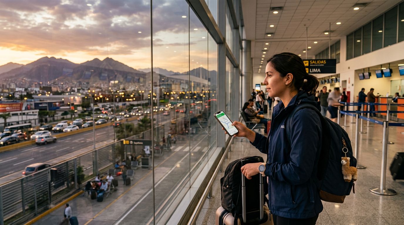
Peru is a land of dramatic contrasts, ranging from the arid coastal deserts and the bustling, colonial-era streets of Lima to the high-altitude trails of the Andes and the dense greenery of the Amazon basin. Whether you are planning a pilgrimage to Machu Picchu, exploring the Sacred Valley, or wandering through the historic plazas of Cusco, having the right digital tools is essential. Relying on paper maps in a landscape as vast and rugged as Peru is a recipe for frustration. To move with confidence, you need reliable technology that keeps you oriented, informed, and connected.
Staying Connected Across the Peruvian Landscape
The foundation of any successful navigation strategy in Peru is consistent internet access. While major cities offer public Wi-Fi, relying on these networks for real-time GPS tracking or translating local signage is risky. Remote areas, such as the trekking paths near Huaraz or the winding roads leading to mountain villages, often lack stable infrastructure.
Using a travel eSIM like OneTapSIM allows you to maintain a steady data connection the moment you land. By having a digital SIM pre-installed, you avoid the hassle of searching for local kiosks or swapping physical cards at the airport. Reliable data ensures that your navigation apps can download map updates, check traffic conditions, and provide accurate walking directions without interruption. Without a stable connection, even the most sophisticated navigation app becomes useless when you are standing at a confusing intersection in an unfamiliar city.
Top Navigation Apps for Peruvian Exploration
When considering the best travel apps for navigation in Peru, you need a mix of global giants and specialized tools. Google Maps remains the industry standard for general navigation. Its strength lies in its comprehensive database of businesses, restaurants, and transit routes. In cities like Lima and Arequipa, it is excellent for finding bus routes and walking paths. A crucial tip for any traveler is to download offline areas of the regions you plan to visit. This ensures that even if you venture into a mountain pass where cellular signals drop, you can still see your blue dot moving across the map.
For those heading into the wilderness, AllTrails is an indispensable companion. Peru is a hiker’s paradise, but trails can be poorly marked or obscured by shifting weather. AllTrails provides topographic maps and user-submitted photos that help you verify you are on the right path. Reading recent reviews from other hikers is a great way to gauge current trail conditions, such as mudslides or washed-out bridges, which are common in the Andes during the rainy season.
Waze is another strong contender if you choose to rent a vehicle. While driving in Peru can be chaotic due to local traffic patterns and narrow, winding mountain roads, Waze excels at real-time crowd-sourced data. It is particularly effective at alerting drivers to road closures, construction, or police presence. However, be cautious; while Waze is excellent for urban driving, it may not always account for the specific challenges of high-altitude mountain passes, so it is wise to cross-reference your route with a more traditional map app.
Mastering Public Transit and Local Transport
Navigating Peru’s public transportation system can be intimidating for newcomers. In major cities, the "metropolitano" or local bus networks often lack centralized, easy-to-read digital schedules. This is where apps like Moovit become essential. Moovit aggregates data from local transit authorities and community input to provide step-by-step directions. It helps you understand which bus to board, where to get off, and how long the wait will be.
Beyond public transit, ridesharing apps are the safest and most convenient way to move between neighborhoods in large cities. Uber and Cabify operate in most major Peruvian urban centers. Using these apps provides a layer of security, as your route is tracked, the driver’s identity is verified, and the fare is calculated digitally. This eliminates the need for haggling with taxi drivers, which is a common practice in many parts of the country. By linking your ridesharing app to your stable mobile data connection, you can call a car from almost anywhere, ensuring you aren't left stranded after a long day of sightseeing.
Essential Tips for Smooth Travel
Navigation is not just about the apps you install; it is about how you manage your device. Battery life is a major concern when using GPS, as constant location tracking drains power quickly. Always carry a portable power bank, especially when spending the day on a trek or a long bus ride. Keep your phone in a protective case to guard against the dust of the desert or the moisture of the cloud forest.
Language can also be a barrier to navigation. While many people in the tourism industry speak English, local bus drivers or people you might ask for directions in rural areas may only speak Spanish. Having a translation app that allows for offline language packs can be a lifesaver. If you find yourself lost, showing a local a map or a photo of your destination on your phone is often more effective than trying to explain where you are going.
Finally, always have a backup plan. Technology is wonderful, but it can fail. Keep a physical map of the city or region in your bag, and write down the address of your accommodation in a notebook. If your phone battery dies or you lose signal, these low-tech backups will ensure you can find your way back to safety. By combining the efficiency of modern navigation apps with the reliability of a consistent data connection from a service like OneTapSIM, you can focus on the incredible history and natural beauty of Peru rather than worrying about your next turn. Whether you are navigating the labyrinthine streets of Cusco or finding your way to a secluded beach, being prepared is the key to a stress-free adventure.
Get an eSIM for
Plans for the destinations covered in this guide, with instant QR delivery.