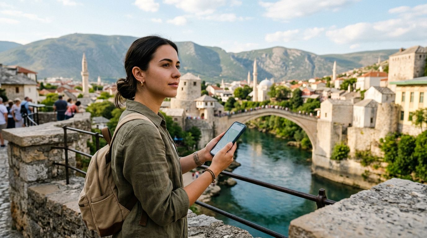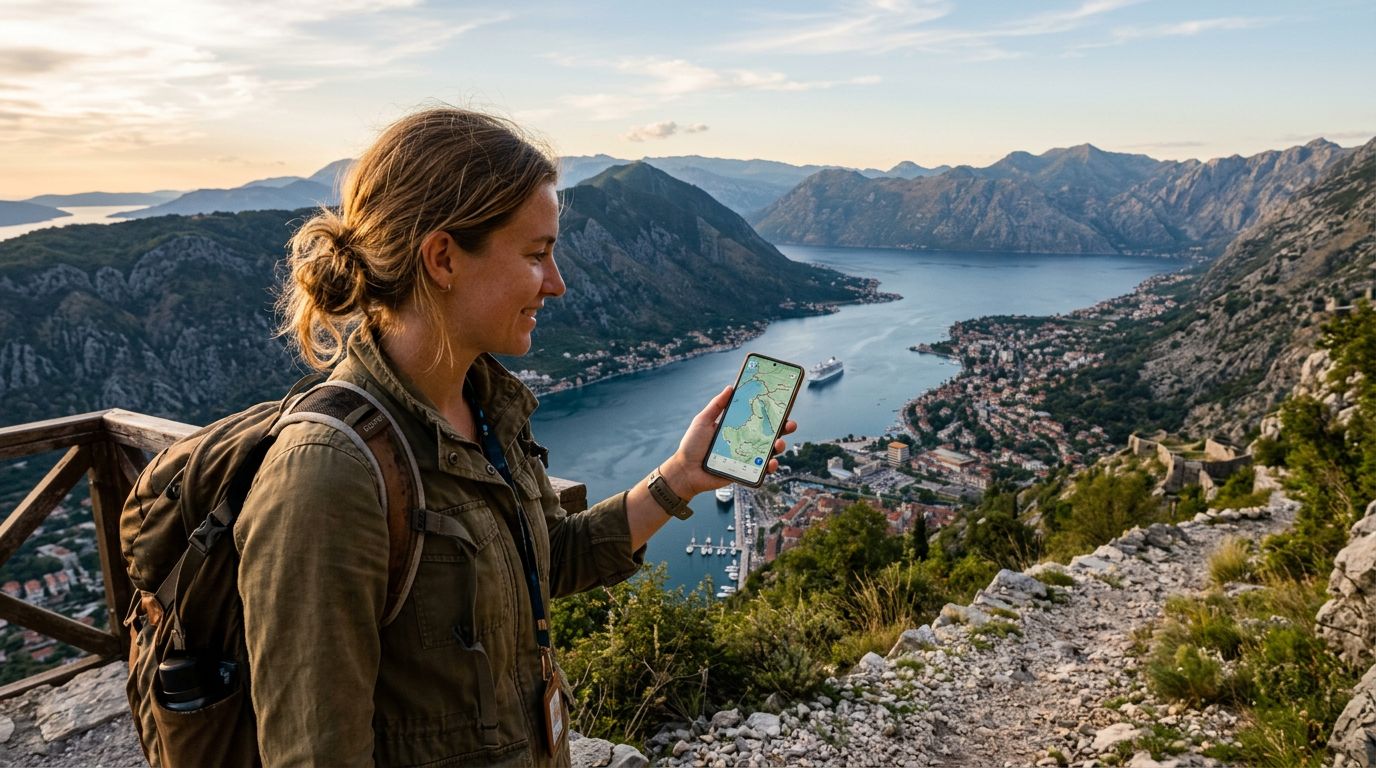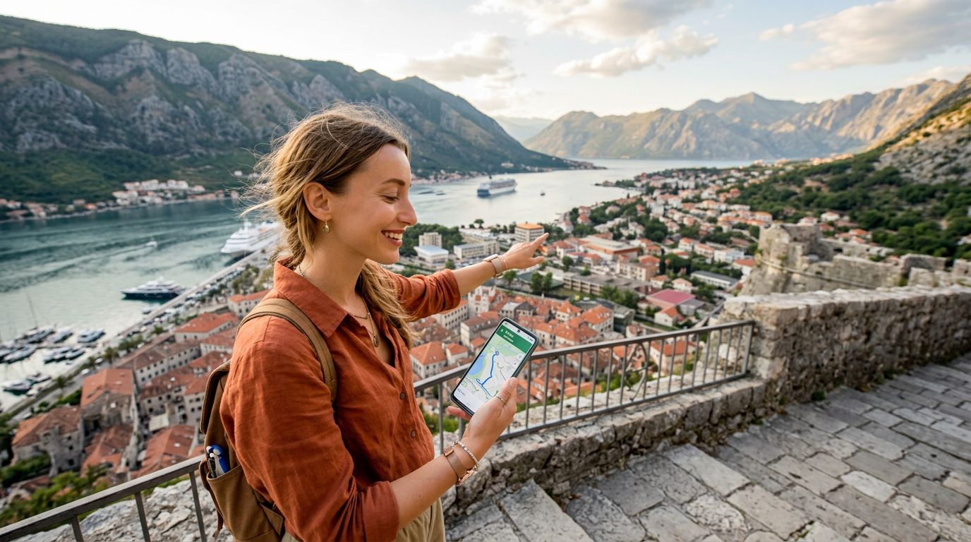
Montenegro is a land of dramatic contrasts, where jagged limestone peaks plunge directly into the turquoise waters of the Adriatic Sea. Whether you are driving the winding coastal roads of the Bay of Kotor, hiking through the deep canyons of Durmitor National Park, or wandering the medieval stone streets of Budva, having reliable navigation is essential. The terrain is rugged and the roads can be narrow and unpredictable, making it vital to have the right digital tools at your fingertips.
To make the most of your journey, you need a stable internet connection. Relying on spotty hotel Wi-Fi or expensive roaming plans can leave you stranded in the middle of a mountain pass. Using a travel eSIM from OneTapSIM ensures that you remain connected as you move between regions, allowing your navigation apps to pull real-time traffic data and updated maps without interruption.
Essential Mapping Tools for Montenegro
When it comes to finding your way, not all mapping applications are created equal. In Montenegro, the combination of winding mountain passes and dense urban centers requires apps that offer offline capabilities and detailed topographical data.
Google Maps remains the industry standard for a reason. Its comprehensive database of businesses, restaurants, and points of interest is unmatched. In Montenegro, it is particularly useful for checking business hours and reading recent visitor reviews. However, Google Maps can sometimes struggle with the narrow, secondary roads in rural areas. It is highly recommended to download offline maps for the entire country before you leave your accommodation. This ensures that even if you lose cellular signal in a deep canyon, you can still track your location via GPS.
For those who prefer a more specialized approach to navigation, Maps.me is an excellent alternative. Built on OpenStreetMap data, it is often superior to Google Maps when it comes to hiking trails and pedestrian paths. If your itinerary involves trekking through Biogradska Gora or exploring the remote peaks of the north, Maps.me will likely show trails that mainstream apps overlook. The app is designed to work entirely offline, making it a battery-efficient choice for long days spent exploring the outdoors.
Waze is another popular option, especially if you are renting a car and planning to drive between major hubs like Podgorica, Tivat, and Kotor. Because Waze relies on community-driven data, it is effective at highlighting real-time road hazards, police presence, and traffic congestion. While it is less useful for walking tours, it is a powerful asset for anyone spending significant time behind the wheel on Montenegro’s coastal highways.
Optimizing Connectivity for Seamless Travel
A navigation app is only as good as the data it receives. If your connection drops while you are approaching a complex intersection in the center of a historic town, you risk missing a turn or getting stuck in traffic. This is where a dedicated travel eSIM becomes a transformative part of your travel toolkit.
By using a service like OneTapSIM, you avoid the logistical headache of searching for local physical SIM cards upon arrival. Traditional SIM cards often require you to find a shop, deal with language barriers, and swap out your primary card, which risks losing your original SIM. An eSIM allows you to activate your data plan digitally. Once you land at Tivat or Podgorica airport, you can switch to your local data profile and have immediate access to maps, ride-sharing apps, and messaging services.
Connectivity is particularly important when using public transportation. While Montenegro has a bus network that connects major cities, schedules can be fluid and are not always perfectly synced with global transit apps. Having a reliable data connection allows you to check local bus operator websites or use messaging apps to confirm departure times with your hosts. Being able to access a live map while waiting for a bus provides peace of mind, especially when you are traveling in regions where English signage might be limited.
Furthermore, if you are using ride-sharing services or taxi apps, a stable connection is non-negotiable. Being able to track your driver’s arrival in real-time prevents confusion, especially in the crowded, labyrinthine streets of Kotor’s Old Town, where finding a specific pickup point can be challenging without a live map interface.
Planning Your Route and Staying Informed
Navigation is not just about finding the shortest path; it is about understanding the context of the journey. Montenegro’s geography is dominated by mountains, which means that driving times are often much longer than the distance on a map would suggest. A route that looks like a short twenty-kilometer drive might take an hour or more due to steep inclines and hairpin turns.
To plan effectively, use your navigation apps to check for altitude changes and road types. Apps like Komoot are fantastic for cyclists and hikers who need to account for elevation gains. By syncing these apps with a reliable data plan, you can adjust your route on the fly if weather conditions change or if you decide to take a detour to a scenic viewpoint.
It is also worth noting that local information is often shared via social media or community forums. Many of the best-kept secrets in Montenegro—such as hidden swimming spots or local festivals—are updated on platforms that require an active internet connection. Keeping your data active allows you to tap into these local updates, turning a standard sightseeing trip into a more immersive experience.
Finally, always carry a power bank. Navigation apps are notoriously battery-intensive, especially when they are constantly pinging GPS satellites and downloading map data. Even with a perfect connection, a dead phone is the ultimate barrier to navigation. Combining a portable charger with a reliable eSIM ensures that your digital compass stays active from the moment you leave your hotel until you return.
By preparing your device with the right apps and ensuring consistent connectivity, you remove the stress from your Montenegrin adventure. Whether you are driving the serpentine roads above the bay or hiking the rugged trails of the interior, having the right tools allows you to focus on the breathtaking scenery rather than worrying about your next turn. With a bit of digital preparation, you can explore the hidden corners of this beautiful country with confidence and ease.
Kup eSIM na
Plany dla kierunków opisanych w tym poradniku, z natychmiastową dostawą QR.