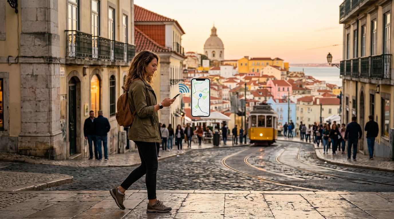
Getting lost in a foreign city can be an adventure, but more often than not, it is a source of unnecessary stress. Whether you are wandering through the narrow, winding alleys of an ancient European town or trying to find a specific subway exit in a bustling Asian metropolis, having the right digital tools at your fingertips is essential. Modern navigation technology has transformed the way we explore, turning daunting logistics into simple, manageable tasks. However, the effectiveness of these tools relies entirely on one critical factor: a reliable internet connection.
Choosing the Right Navigation Tools for Your Trip
Not all navigation apps are created equal. Depending on your travel style—whether you are a hiker, a city explorer, or a road-tripper—different platforms offer unique advantages.
Google Maps remains the industry standard for a reason. Its integration with local businesses, public transit schedules, and user reviews makes it an all-in-one hub for travelers. You can see photos of a restaurant you are walking toward, check if a train is delayed, or find the nearest public restroom. The "Live View" augmented reality feature is particularly helpful when you exit a subway station and have no idea which direction to turn.
For those who prioritize aesthetic maps and privacy, Apple Maps has seen massive improvements in recent years. Its detailed city maps, which highlight crosswalks, medians, and building heights, provide a much clearer picture of your surroundings in major urban centers. It also integrates seamlessly with wearable devices, allowing you to get haptic feedback for turns so you do not have to stare at your phone screen while walking.
If you are heading off the beaten path, consider specialized apps like AllTrails or Maps.me. AllTrails is indispensable for hikers, providing topographic data and community-verified trail conditions. Maps.me is fantastic for travelers who want to rely on offline maps, as it allows you to download entire regions for use without a data connection. By combining these specialized tools with a robust primary map app, you can ensure that you are never left guessing about your next move.
The Importance of Connectivity for Seamless Navigation
The most sophisticated navigation app in the world is useless if you cannot load the map data. While many apps offer offline modes, these versions often lack real-time updates. If a road is closed due to construction, a bus route is diverted, or a train station is unexpectedly shut down, an offline map will not warn you. This is where real-time data becomes the difference between a smooth journey and a frustrating detour.
Maintaining a constant connection while traveling is the best way to leverage the full functionality of these navigation apps. You need the ability to search for new destinations on the fly, check traffic conditions, and communicate with local services if you get stuck. Relying on public Wi-Fi is often impractical, as these networks are frequently slow, insecure, or unavailable exactly when you need them most.
This is where OneTapSIM becomes a vital part of your travel toolkit. By providing a reliable eSIM solution, OneTapSIM ensures that your device stays connected to local networks the moment you land. Because you are not tethered to a single provider or relying on unpredictable roaming agreements, you can keep your navigation apps updated with live traffic data and transit alerts throughout your entire trip. Having a dedicated data plan allows you to focus on the sights and sounds of your destination rather than hunting for a signal to load your next set of directions.
Strategies for Efficient Travel Navigation
Even with the best apps and a stable connection from OneTapSIM, your travel experience will be improved by adopting a few smart habits. First, always verify your destination before you leave your accommodation. If you are heading to a hotel or a specific landmark, save it as a "Favorite" or "Starred" location in your app. This creates a quick-access shortcut, saving you from typing in complex addresses while standing on a busy street corner.
Second, learn to read the "transit layers" of your chosen app. Most navigation platforms have a specific view that highlights bus lines, subway routes, and walking paths. Before you start your day, take a few minutes to look at the overall layout of the city. Understanding the general geography—where the river is, where the major train station sits, and how the districts are arranged—will help you maintain your sense of direction even if your phone battery dies or the app glitches.
Third, consider the battery impact of constant GPS usage. Navigation apps are notoriously power-hungry. To mitigate this, keep a portable power bank in your day bag and adjust your phone settings to optimize battery life. If you are walking a long distance, check the route, memorize the next few turns, and then let your phone rest in your pocket. Use the voice guidance features through your headphones so you can keep your eyes on the architecture rather than the screen.
Finally, always have a backup plan. While digital navigation is powerful, it is still technology. Keep a paper map or a screenshot of the local area saved in your photos as a safety net. When you pair this level of preparation with the reliable connectivity provided by OneTapSIM, you gain the confidence to explore deeper, venture further, and enjoy the journey without the anxiety of getting lost. Whether you are navigating a complex transit system or trekking through a remote landscape, the right apps and a solid data connection are your best companions for a successful trip.
Kup eSIM na
Plany dla kierunków opisanych w tym poradniku, z natychmiastową dostawą QR.