Preparing for the Mongolian Wilderness
Mongolia is a land of vast, open horizons, nomadic traditions, and landscapes that seem to stretch into infinity. Whether you are planning to traverse the Gobi Desert, explore the lush valleys of the Orkhon River, or experience the cultural heartbeat of Ulaanbaatar, the lack of traditional infrastructure requires a shift in how you approach travel. Unlike densely populated urban centers where street signs and grid systems are standard, Mongolia relies on landmarks, dirt tracks, and remote waypoints.
Before you set off, your primary challenge is connectivity. Traditional roaming can be unreliable or restricted in rural provinces. This is where a reliable digital connection becomes essential. By using an eSIM like OneTapSIM, you can maintain a stable data connection as soon as you touch down, ensuring that your navigation tools remain functional even when you are far from the nearest town. Without a consistent data stream, your maps will fail to load, and your ability to pin locations or check weather updates will vanish. Reliable connectivity is the foundation upon which all your other navigational tools are built.
Essential Mapping Tools for Remote Terrain
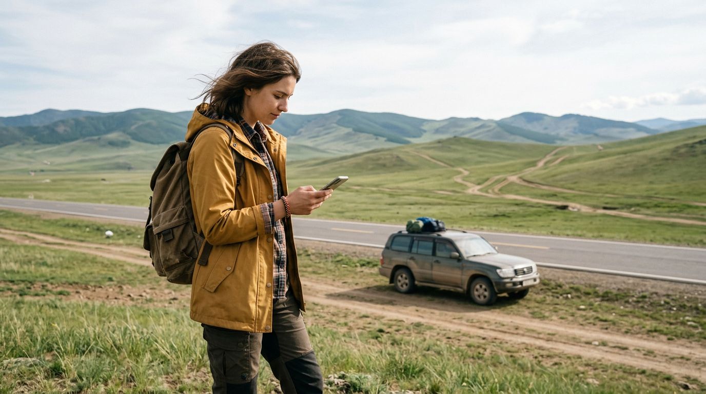
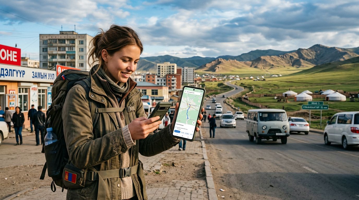
The most critical realization for any traveler in Mongolia is that Google Maps, while useful in Ulaanbaatar, has significant limitations in the countryside. While it provides a good overview of major roads, it often fails to account for the thousands of off-road tracks that nomadic herders use daily. To supplement your primary navigation, you need applications that support offline functionality and topographical data.
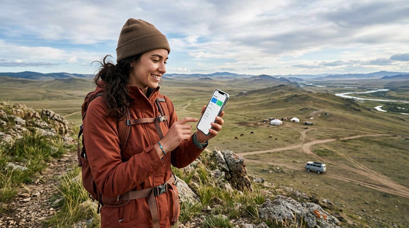
Maps.me is arguably the most popular choice for travelers in remote regions. Its strength lies in its highly detailed offline maps, which include footpaths, trails, and even small water sources that major map providers often overlook. By downloading the map of Mongolia while you have a stable connection—perhaps via your OneTapSIM—you can navigate with confidence even when you are deep in the steppe. The app allows you to drop pins at your campsite or meeting points, which is vital when there are no street addresses to guide you.
Another powerful tool to consider is Organic Maps. It is an open-source alternative that focuses on privacy and efficiency. It is lightweight, which helps preserve your phone’s battery life during long days on the road. Because it is optimized for offline use, it is an excellent companion for those who want to avoid high data consumption while still having access to accurate cartography. When you are moving between provinces, having these maps pre-cached ensures that you are never truly lost, even if your GPS signal struggles in deep canyons or dense mountain passes.
Specialized Navigation and Safety Considerations
Beyond standard mapping, you should consider apps that provide context for your environment. Mongolia’s weather can shift rapidly, and terrain that looks passable in the morning can become difficult after a sudden rainstorm. Windy is a highly recommended tool for monitoring atmospheric conditions. It provides real-time wind, rain, and temperature data, which is invaluable if you are camping or planning a long drive across exposed plains. Understanding the wind patterns can help you decide whether to push forward to your next destination or find shelter.
For those venturing into the more rugged parts of the country, such as the Altai Mountains or the remote northern forests, Gaia GPS is a professional-grade tool worth exploring. It offers high-resolution satellite imagery and topographical layers that show elevation changes, which is crucial for hikers and off-road drivers. While it has a steeper learning curve than standard map apps, the ability to view terrain in 3D can prevent you from attempting a route that is physically impossible for your vehicle.
Communication is the final, often overlooked, aspect of navigation. If you are traveling with a group or meeting local guides, WhatsApp and Telegram are the standard methods of communication in Mongolia. Being able to share your live location or send a quick message to clarify a meeting point near a specific landmark is often more effective than following a map. Because these apps require a steady internet connection, having a dedicated data plan via your eSIM ensures that your communication lines remain open. If your group gets separated or you need to coordinate with a local host, a reliable data connection is your best safety net.
Practical Tips for Successful Navigation
Even with the best technology, Mongolia demands a degree of analog preparation. Never rely solely on a smartphone. Always carry a physical map of the country as a backup. There is a specific peace of mind that comes from being able to orient yourself using a paper map when your battery dies or your screen becomes unreadable in direct sunlight.
Battery management is another major factor. Navigation apps are notoriously power-hungry. Keep your phone in airplane mode when you are not actively checking your location, and always keep a high-capacity power bank in your daypack. Cold temperatures, particularly in the shoulder seasons or at high altitudes, can drain lithium-ion batteries much faster than usual. Keeping your phone close to your body heat can help maintain its charge for longer periods.
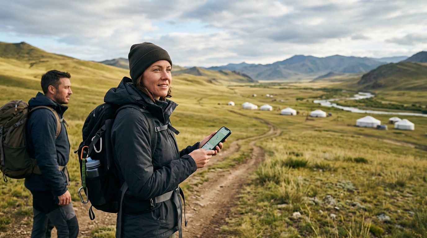
Finally, remember that in Mongolia, the "best" route is often the one that the locals are taking. Do not hesitate to ask for directions at ger camps or from passing drivers. While your apps will get you close, local knowledge is the ultimate navigation tool. Use your digital maps to identify the general direction, but rely on human interaction to confirm the condition of the track ahead. By combining the precision of digital tools like OneTapSIM for connectivity and offline mapping apps for pathfinding with the wisdom of the local people, you will be well-equipped to navigate the vast, beautiful, and challenging landscape of Mongolia. Stay flexible, keep your devices charged, and enjoy the journey across one of the last truly wild places on Earth.